Ubaye Trail Salomon courses
 Download course map Download course map Download for Google Earth Download for Google Earth |
 View interactive map in full screen View interactive map in full screen |
Profiles
Le Lan "Elite" 42 Km / + 2560m
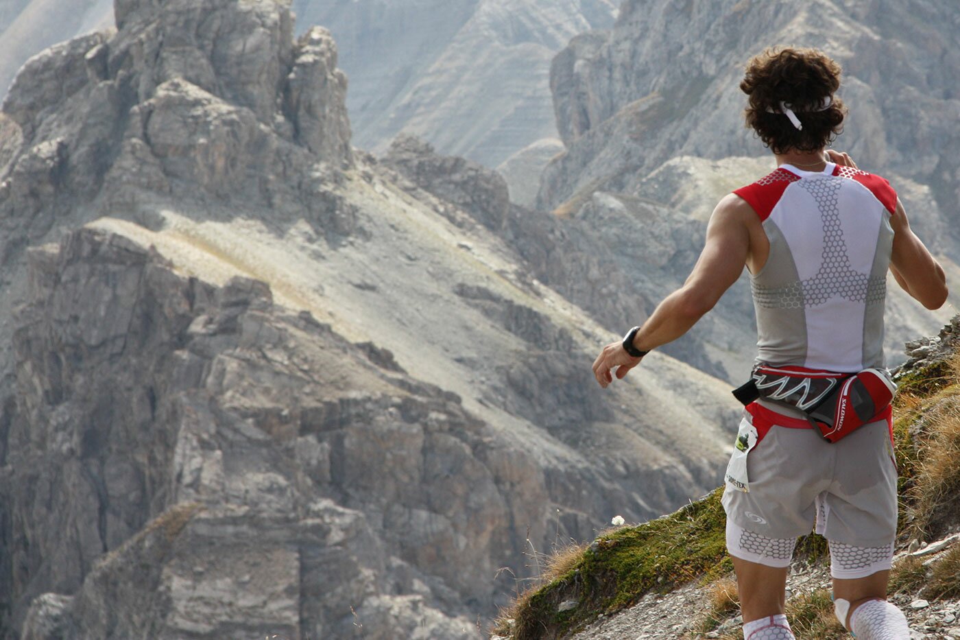
A marathon in the mountains.Over 40% of the course between 2000 and 2682 m, over 70% of single track, a technical track, demanding and engaging.
Varied surfaces, fast sections, sharp climbs and technical descents, forests, alpine meadows, rocky passages where you will have to "trudge" with hands and feet, amidst beautiful mountain peaks and scenery.
You will have to cross four mountain passes and climb a summit of 2682 metres altitude over 9km and a 1200m elevation gain of which the last two kilometres are + 33%.
All the ingredients are there to allow your physical and technical potential to be fully expressed on this trail and take you on the highest peaks of the Ubaye Valley, under the eye of intrigued marmots, chamois and ibex.
The challenge counts, for ladies and men, for the Challenge of Trails of Provence, and is a qualifier event for the Ultra-Trail du Mont Blanc (1 point).
Open category: Hopefuls, Seniors and Veterans
 Download GPX file
Right Click / Save As
La Méa "Discovery" 23 Km / + 1070 m :
A fun downhill trail, nice and sporty with a mountain profile and two passes to climb, accessible to everyone, with common sections with the "Open" and "Elite" courses.
A journey through forests, meadows and mountains, a pleasurable mountain experience.
Open to categories: Juniors, Hopefuls, Seniors and Veterans.
 Download GPX file
Right Click / Save As
Le Brec "Open" 12 Km / + 600 m :
An easy and pleasant trail for everyone, with one pass to climb and common sections with the "Discovery" and "Elite" courses.
For those who prefer shorter distances or those new to mountain trails.
Open to categories : Cadets, Juniors, Hopefuls, Seniors and Veterans
Les Alaris Hikers 12 Km / + 600 m :
The "Open" course is open to hikers, with pit stops, but without timing. No medical certificate required.
All age categories are accepted.


